










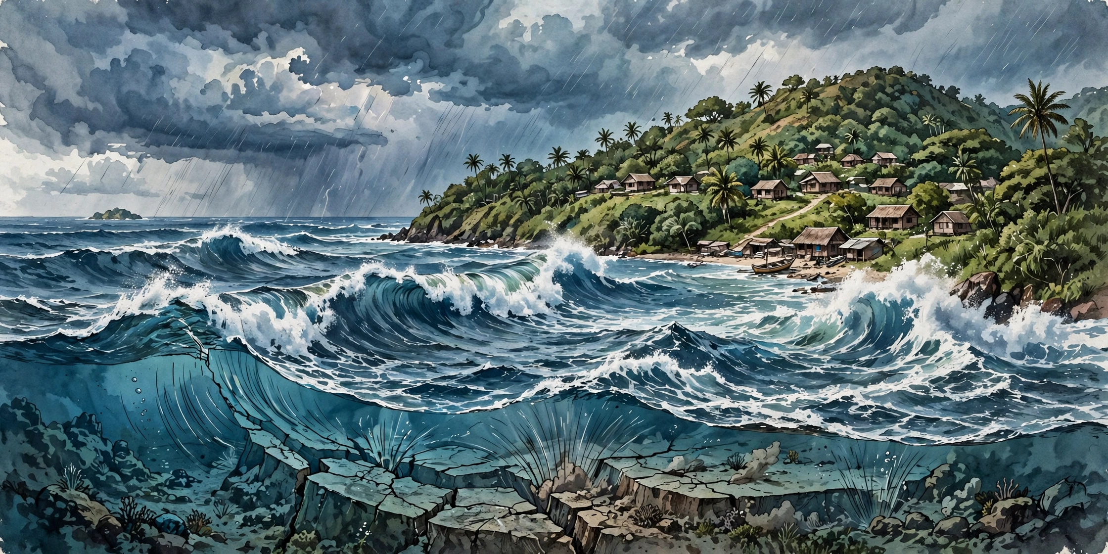
A powerful Vanuatu earthquake struck the South Pacific on Saturday, prompting a tsunami warning for nearby coasts before authorities confirmed the danger had passed. The quake was first estimated at magnitude 7.2 and later revised to 6.9 after further analysis.
Table of Contents
The Vanuatu earthquake tremor hit at about 1:31 p.m. local time on Saturday, 24 October — 02:31 UTC — roughly 197 kilometres west-northwest of Port-Olry, a coastal settlement on the island of Espiritu Santo, at a depth of about 10 kilometres beneath the ocean floor, according to the United States Geological Survey.
Vanuatu earthquake: Why a tsunami warning was issued
Shallow earthquakes under the ocean are the kind most likely to displace water, so the Pacific Tsunami Warning Center moved quickly. Its first bulletin warned that hazardous tsunami waves could strike coastlines within 300 kilometres of the epicentre, and Vanuatu’s Geological Hazards Department urged people in coastal areas to move to higher ground.
A second quake, measuring 6.3, struck nearby, and further aftershocks were reported through the day. The warning centre later revised the main quake’s magnitude down to 6.9 and, in a follow-up message, said the tsunami threat had passed, although minor sea-level fluctuations could still occur near the epicentre for some hours.
Vanuatu’s former prime minister used social media to tell residents that tremors were continuing and to urge them to stay alert and follow official updates.
No casualties or major damage reported so far
There were no immediate reports of casualties or significant structural damage, though officials cautioned that assessments can take longer in remote island communities. No tsunami threat was identified for Australia or New Zealand.
The Vanuatu earthquake episode was a reminder of how exposed Vanuatu is. The island nation sits on the Pacific Ring of Fire, one of the world’s most seismically active belts, where earthquakes and volcanic activity are frequent. Seismic monitors say Vanuatu has recorded 72 earthquakes over the past 30 days, with Saturday’s the strongest.
What happens after a warning is lifted
A lifted warning does not mean the ground has gone quiet. Aftershocks often follow a quake of this size for days, and authorities typically keep monitoring sea levels and seismic activity long after the all-clear. Residents are advised to stay away from beaches and low-lying coastal areas until local officials confirm conditions are fully normal, and to keep phone alerts switched on.
Saturday’s sequence also showed why early numbers change: the first magnitude estimate is based on the fastest available data, and agencies refine it as more stations report in. The revised 6.9 figure is the one now carried in official records.
For Pacific island nations, the system worked as designed — a fast warning, a fast revision, and a fast all-clear. The next task is the slower one: checking remote communities and making sure the aftershocks cause no harm.
Read More on Roz Khabar: